
About the cliffs of Norway
The majestic cliffs of Norway have captivated visitors from around the world for centuries. Rising dramatically from the deep blue waters of the Norwegian Sea, these imposing rock formations offer a breathtaking spectacle that is simply awe-inspiring.
Where are the famous cliffs of Norway?
The Cliffs of Norway are located on the western coast of the country. Stretching for over 1,000 kilometers from the southern tip of Norway to the North Cape, these steep walls of rock provide breathtaking views of the Norwegian Sea and the rugged coastline.
Which is the most famous among the cliffs of Norway?
The most famous of these cliffs is Preikestolen, also known as Pulpit Rock, which towers over the Lysefjord and offers breathtaking views of the surrounding landscape. Other notable cliffs include Trolltunga, Kjeragbolten, and Trollveggen (Troll wall), each with its own unique beauty and charm.
In this post, we will provide information about each of these cliffs, including their location, how to get there, and what to expect when visiting. We will also share some useful tips to help you make the most of your trip and ensure a safe and enjoyable experience. Keep reading and prepare yourself to discover the Cliffs of Norway!
Pulpit Rock (Preikestolen) | Cliffs of Norway

The famous Pulpit Rock, also referred to as Preikestolen in Norwegian, is a renowned cliff structure situated in the southwestern region of Norway. It towers 604 meters (1982 feet) over the Lysefjord, providing tourists with awe-inspiring panoramic vistas of the surrounding mountain and fjord scenery. The plateau-shaped flat rock, measuring around 25 meters (82 feet) square, appears to extend from the side of the cliff face. Every year, Pulpit Rock draws in hundreds of thousands of visitors, thus making it one of Norway’s most recognizable and popular natural landmarks.
Where to stay
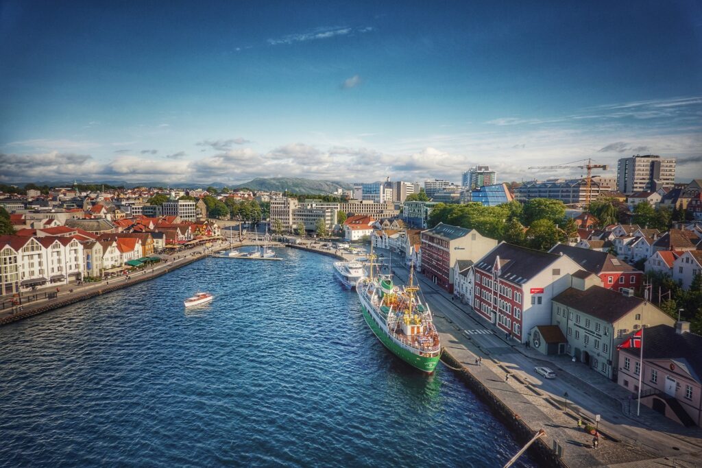
The city of Stavanger is the most convenient base for exploring Pulpit Rock, located approximately an hour’s drive away. As the fourth largest city in Norway, Stavanger offers a diverse range of accommodation options, including hotels, hostels, and vacation rentals. Conveniently, accommodation in Stavanger is able to suit varying budgets and preferences.
Feel free to check your accommodation options in Stavanger and compare prices here.
In addition to being the starting point for visiting Pulpit Rock, Stavanger is also known for its charming old town, modern art museums, and excellent restaurants serving fresh seafood. Visitors can easily reach Pulpit Rock by taking a ferry or bus from Stavanger to the nearby trailhead at Preikestolen Mountain Lodge.
Alternatively, you can stay at this base camp (Preikestolen BaseCamp), which lies right at the base of the hiking trail that leads to Pulpit Rock.
How to get to Stavanger
Stavanger is accessible through various modes of transportation.
By plane: The Stavanger International Airport (Sola) is located about 14 km (8.7 miles) southwest of the city center. It is served by a number of domestic and international airlines, offering direct flights to major European cities such as London, Amsterdam, Copenhagen, and Stockholm, among others.
By train: Stavanger is well connected to other cities in Norway by rail, with frequent train services provided by Vy. The train station is located in the city center, making it an appropriate option for travelers.
By bus: Several bus companies operate services to and from Stavanger, with frequent connections to other cities in Norway. The main bus station is located near the train station in the city center.
By car: Several major highways connect the city to other parts of Norway. If you are driving from Oslo, it takes about 7-8 hours to reach Stavanger while driving from Bergen takes about 5-6 hours.
The hike to Pulpit Rock

The hike to Pulpit Rock is a popular and well-marked trail. It starts from the Preikestolen Mountain Lodge, which is located about 25 kilometers (15 miles) east of Stavanger.
Embarking on the hike to Pulpit Rock entails covering a round-trip distance of approximately 8 kilometers (5 miles). It typically takes around 2-4 hours to complete, depending on factors such as fitness level and weather conditions. A moderate trail, it presents some steep sections and rocky terrain. However, it is generally manageable for most hikers.
The trail passes through picturesque forests and across rocky mountain terrain, with stunning vistas of the awe-inspiring scenery. The final ascent to Pulpit Rock involves climbing a set of stairs and a short scramble over some rocks. Once at the top, visitors are rewarded with incredible panoramic views of the surrounding landscape.
Planning your trip to Pulpit Rock (Preikestolen)
Book your Accommodation: Start your journey off right by booking your accommodations here.
Car rental: Find the best deals and book your car here.
Tips and Precautions | Pulpit Rock / Cliffs of Norway
- Dress appropriately: Wear comfortable shoes with good grip, dress in layers, and bring a rain jacket. The weather can be unpredictable and change quickly.
- Bring enough water and food: There are no water sources on the trail, so make sure you bring enough water for the entire hike. You should also bring food, since it is impossible to find something to eat nearby.
- Follow the marked trail: The trail to Pulpit Rock is well-marked, so make sure you stay on the trail and don’t wander off.
- Watch your step: There are some steep and rocky sections of the trail, so be careful and watch your step.
- Stay on the designated viewing area: When you reach Pulpit Rock, stay on the designated viewing area and don’t go too close to the edge.
- Check the weather forecast: Check the weather forecast before you start your hike and avoid hiking in bad weather conditions.
Trolltunga | Cliffs of Norway

A rock formation that juts out horizontally from a mountain in Norway, Trolltunga is often referred
to as “Trolltunga cliff”. However, it is not a traditional vertical cliff like Preikestolen (Pulpit Rock)
or Kjeragbolten.
Its unique and dramatic geological formation makes it a must-visit destination for adventure
seekers and nature lovers. It offers views of the Hardangerfjord and the Folgefonna glacier that
are nothing short of majestic.
A rock formation that juts out horizontally from a mountain in Norway, Trolltunga is often referred to as “Trolltunga cliff”. However, it is not a traditional vertical cliff like Preikestolen (Pulpit Rock) or Kjeragbolten. Trolltunga means “Troll’s Tongue” in Norwegian. The rock formation is named after its resemblance to a tongue or a ledge protruding from the mountain, which is said to resemble the tongue of a giant troll. This name draws on Norwegian folklore, where trolls are depicted as mythical creatures inhabiting mountains and forests.
Where to stay
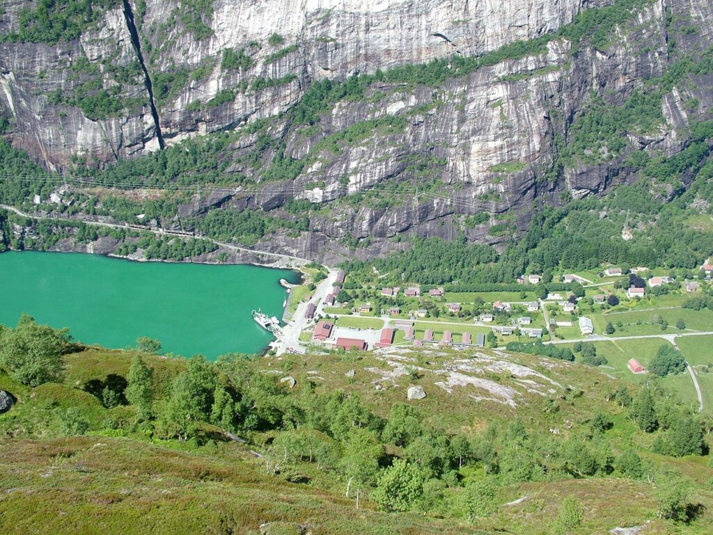
The most convenient place to stay for visiting Trolltunga is the town of Odda. Odda is located in
the heart of the Hardangerfjord region and serves as the starting point for the hike to Trolltunga.
The trailhead is located just outside the town. Several accommodation options are available in Odda, including hotels, guesthouses, and campsites. Additionally, several restaurants, cafes, and shops are in town, making it a convenient base for exploring the area.
How to get to Odda

The most convenient way to get to Odda depends on your starting location. If you are traveling from within Norway, the best way to get to Odda is usually by car or bus. Odda is located about 2.5 hours east of Bergen and 4 hours west of Oslo by car. There are also several bus companies that offer direct service to Odda from major cities in Norway.
If you are traveling from outside Norway, the best option is to fly into Bergen Airport and then take a car,
bus or taxi to Odda. Bergen Airport is about 2.5 hours west of Odda by car. Another option is to take a
train to Bergen and then transfer to a bus or car to get to Odda.
Getting to Trolltunga
From Odda, you can take a bus to the start of the Trolltunga hike, which is located at
Skjeggedal. Alternatively, you can drive to the start of the hike, but be aware that parking can be
limited and the road is narrow and winding. It’s recommended to arrive early in the morning to
secure a parking spot and avoid crowds.
The hike to Trolltunga
The hike to Trolltunga is approximately 22 kilometers (14 miles) round trip, and it typically takes
8-12 hours to complete. It is considered a strenuous hike that requires a good level of fitness
and stamina. The hike is long, steep, and involves rough terrain, so it is important to be
prepared and take the necessary precautions.
Despite the difficulty, the hike to Trolltunga is considered very rewarding as it offers stunning
panoramic views of the Norwegian mountains and fjords. The view from the top of the Trolltunga
cliff is particularly breathtaking and is a popular spot for taking photos.
Planning your trip to Trolltunga
Book your Accommodation: Start your journey off right by booking your accommodations here.
Car rental: Find the best deals and book your car here.
Tips and precautions | Trolltunga / Cliffs of Norway
- Wear proper hiking shoes: The terrain is rocky and uneven, so wearing sturdy hiking shoes with good grip is important.
- Bring enough food and water: The hike can take 8-12 hours, so bring enough food and water to keep you energized and hydrated throughout the day.
- Start early: Starting early in the morning will give you enough time to complete the hike before dark.
- Follow the marked trail: The trail is well-marked, so follow the signs and avoid taking shortcuts as they can be dangerous.
- Don’t underestimate the difficulty: The hike is long and strenuous, so be sure to train and be physically prepared for it.
Kjeragbolten | Cliffs of Norway

Kjeragbolten is a boulder wedged between two cliffs, suspended above a 984-meter deep abyss in Norway. It is located in the Kjerag mountain range in the Lysefjord area, near the town of Forsand. The boulder is a popular hiking destination for adventurers and thrill-seekers, who often take photos standing on top of the boulder.
The hike to Kjeragbolten is challenging and requires a good level of physical fitness, but the stunning views and adrenaline rush make it well worth the effort.
Where to stay
Lysebotn is the most convenient place to stay if you want to visit Kjeragbolten because it is the closest town to the starting point of the Kjerag hike. The hike to Kjeragbolten begins at Øygardstøl, which is about a 45-minute drive from Lysebotn. Additionally, Lysebotn is situated at the end of a stunning fjord and provides a beautiful setting for those who want to experience the beauty of Norway’s natural landscape.
Getting to Kjeragbolten
There are several options to get from Lysebotn to Kjeragbolten:
- Hiking: You can hike from Lysebotn to Kjeragbolten, which is a strenuous 11-kilometer (6.8-mile) hike with an elevation gain of 1,000 meters (3,280 feet). This hike takes approximately 5-7 hours, depending on your pace and physical fitness level.
- Car: You can drive from Lysebotn to Øygardsstøl and then hike 2.5 kilometers (1.5 miles) to Kjeragbolten. The drive takes approximately 30-40 minutes, and there is a parking lot at Øygardsstøl.
- Shuttle bus: During the summer months, there is a shuttle bus service that runs from Lysebotn to Øygardsstøl. The bus takes approximately 30-40 minutes and costs around 300 NOK (approximately $35 USD) for a round-trip ticket.
- Private tour: You can also book a private tour from Lysebotn to Kjeragbolten, which includes transportation and a guided hike to the boulder. This option can be more expensive, but offers the convenience of transportation and a knowledgeable guide.
The hike to Kjeragbolten
The hike from Øygardsstøl to Kjeragbolten is a challenging 11-kilometer (6.8-mile) trek that takes approximately 6-10 hours to complete, depending on your pace and level of fitness. The trail starts at Øygardsstøl, which is located approximately 25 kilometers (15.5 miles) from Lysebotn, and ascends to the Kjeragbolten boulder at an elevation of 1,000 meters (3,280 feet) above sea level.
It is a demanding hike due to its steep inclines, rocky terrain, and unpredictable weather conditions. The trail is also marked by red T’s, but hikers should be prepared to navigate through some rough sections with the help of ropes and chains. The route also passes by scenic viewpoints such as the famous Kjerag viewpoint, which overlooks the Lysefjord.
Despite the difficulties, the hike is gratifying, offering glorious views of the Norwegian fjords and mountains.
Planning your trip to Kjeragbolten
Book your Accommodation: Lysebotn is a tiny village, however, there are a few accommodation options available. An appropriate place to stay could be this, or this.
Car rental: Find the best deals and book your car here.
Tips and precautions | Kjeragbolten / Cliffs of Norway
- Wear proper hiking shoes and clothing: The hike to Kjeragbolten is strenuous and includes steep and rocky terrain. Wear sturdy hiking shoes with good grip and bring layers in case of changing weather.
- Bring plenty of water and snacks: The hike is quite long, and it is essential to stay hydrated and fueled along the way.
- Check the weather forecast before heading out: The weather at Kjeragbolten can be unpredictable and can change quickly. Be prepared for rain, wind, or other inclement weather conditions.
- Start early: The hike can take anywhere from 6-10 hours round trip, so it’s best to start early in the day to avoid being caught in the dark.
- Stay on the marked trail: The trail is well-marked and maintained, thus it’s essential to stay on the designated path to avoid getting lost or injured.
- Be cautious at Kjeragbolten: While standing on the boulder is a popular photo opportunity, be careful and cautious. It is a steep drop off on either side, therefore it is important to apply common sense.
Trollveggen | Cliffs of Norway

Trollveggen, also referred to as the Troll Wall, is a dramatic and formidable mountain wall in Norway’s Romsdal region. It stands as the tallest vertical rock face in Europe, with a sheer drop of over 1,000 meters (3,280 feet). Renowned for its difficulty, Trollveggen is often considered one of the world’s most challenging climbing routes.
Trollveggen is part of the Romsdal Mountains and lies at the Trolltindene mountain range. It consists of a series of cliffs, including the Upper and Lower Store Trollveggen.
In addition to being a popular destination for experienced climbers, Trollveggen also draws in tourists who come to admire the magnificent views of the mountain from the nearby Trollstigen road and the Trollveggen Visitor Centre. There are also hiking trails in the surrounding areas, allowing visitors to explore the stunning landscape around Trollveggen.
Where to stay
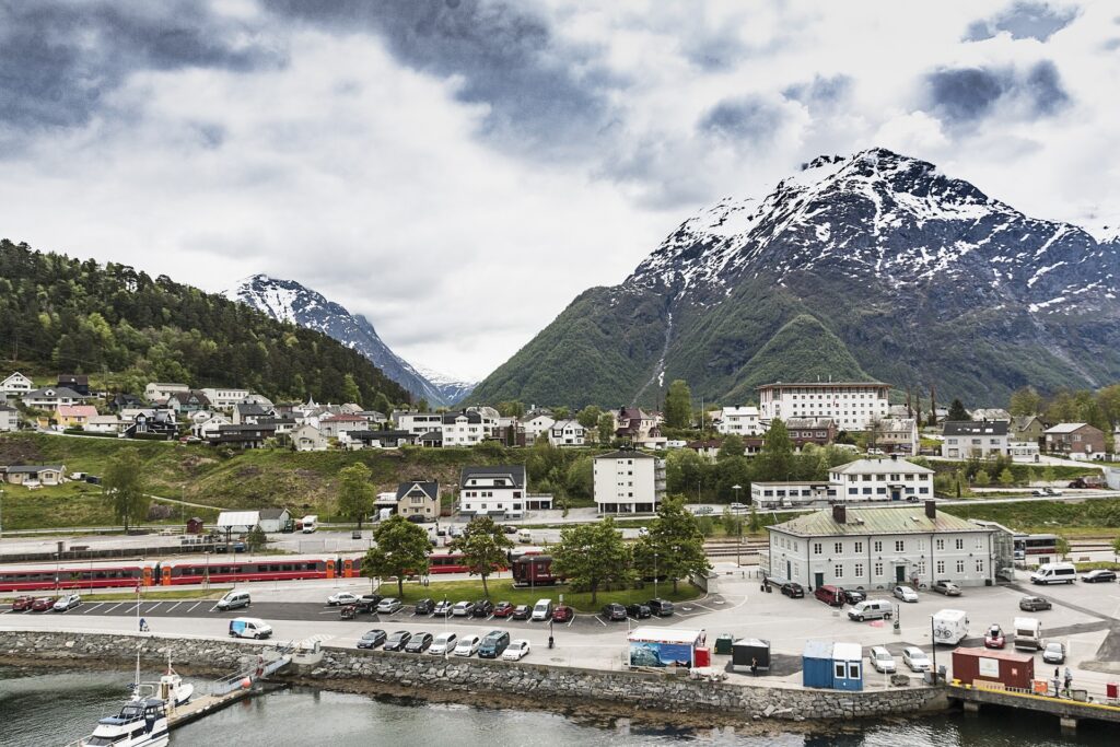
For those looking to explore Trollveggen, the town of Åndalsnes, located approximately 10 kilometers (6 miles) south of the mountain, is the most convenient option. Åndalsnes is a popular tourist destination with various accommodations, including hotels, hostels, and camping sites.
How to get to Åndalsnes
If you are flying into Norway, the closest airports to Åndalsnes are Molde Airport (MOL) and Ålesund Airport (AES). Both of them are approximately 1.5-2 hours away by car. From there, you can rent a car or take a bus to Åndalsnes.
If you are traveling by train, Åndalsnes is the end station of the Rauma Line, which connects to the Dovre Line and the main railway network in Norway. The train journey from Oslo takes approximately 5-6 hours, however, it offers remarkable views of the Norwegian countryside.
You can access Åndalsnes via the E136 highway from the south or the north if you are driving. The town is located about a 4-hour drive from Oslo, a 2.5-hour drive from Trondheim, and a 1.5-hour drive from Ålesund.
Additionally, there are several bus companies that operate services to Åndalsnes from nearby towns and cities, including Molde, Ålesund, and Trondheim.
Getting to Trollveggen
The easiest way to get from Åndalsnes to Trollveggen is by car or bus. By car, you can take the E136 road towards Dombås and continue for about 25 kilometers until you reach Trollveggen. By bus, you can take route 431 Åndalsnes-Valldal-Geiranger and get off at the Trollveggen stop. However, it’s important to check the bus schedules ahead of time as they may vary depending on the season. Another option is to join a guided tour from Åndalsnes that includes a visit to Trollveggen.
Watching Trollveggen from the road is an awe-inspiring experience. The road leading up to Trollveggen winds through beautiful scenery, and the imposing cliff face suddenly appears, towering over the landscape. There are several viewpoints along the road where visitors can pull over and admire the view. One of the most popular viewpoints is the Trollstigen viewpoint, which provides a dramatic perspective of the mountain and the surrounding landscape. Visitors can stand at the edge of the viewpoint and take in the breathtaking view of the steep cliff face, which rises over 1,000 meters (3,300 feet) above the valley floor.
Trollveggen visitor center
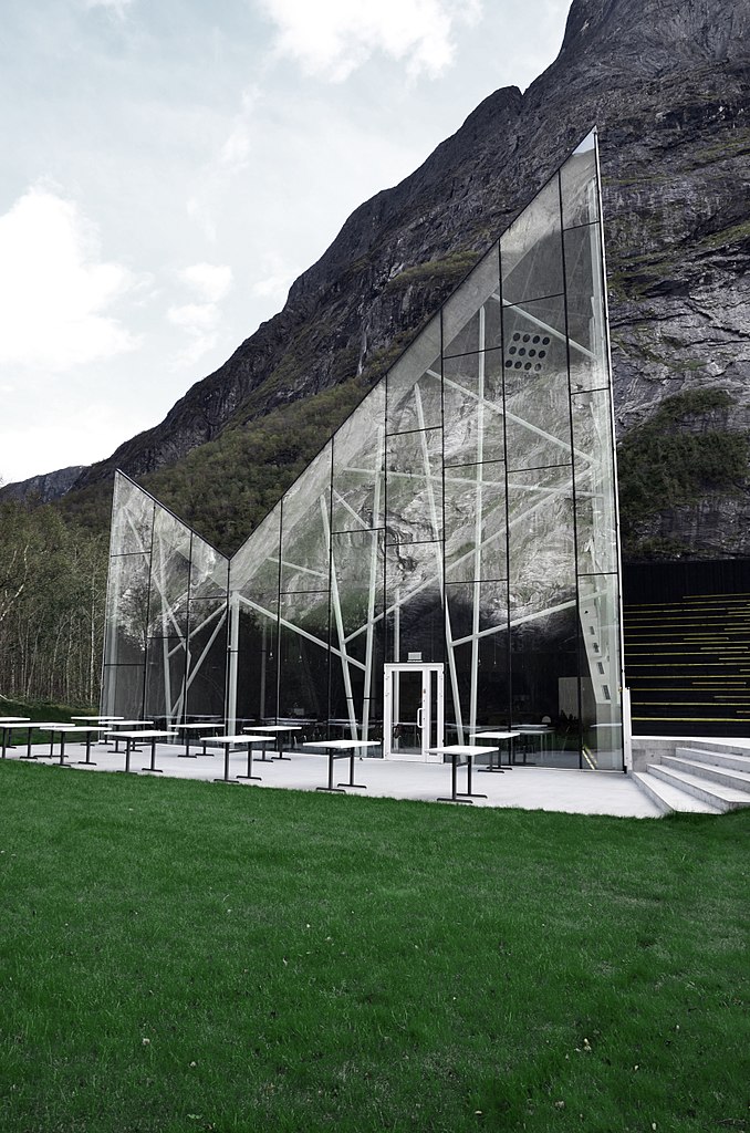
For a more immersive experience, visitors can head to the Trollveggen visitor center, which is located at the base of the cliff face. The center provides a wealth of information about the geology and history of Trollveggen and the surrounding area. The exhibition includes interactive displays, films, and photographs. Furthermore, visitors learn about the formation of the cliff and the many daring climbs that have taken place on its face.
Visitors can also take a short walk from the visitor center to a viewpoint that provides a close-up look at the cliff face. Standing at the base of Trollveggen is a humbling experience. Visitors can see firsthand the enormity of the cliff face and the scale of the mountains that surround it.
Planning your trip to Trollveggen
Book your Accommodation: Start your journey off right by booking your accommodations here.
Car rental: Find the best deals and book your car here.
Experiencing the cliffs of Norway
In conclusion, the Cliffs of Norway are a true natural wonder that promises an unforgettable experience. With their majestic beauty and unparalleled views, these stunning cliffs are a must-visit destination for hikers and nature enthusiasts alike.
An overwhelming sense of astonishment comes with standing at the edge of these precipitous cliffs. The cliffs’ sheer size is incredibly vast, making even distant observation an immersive and humbling encounter. If this post evoked a sense of excitement within you, maybe it’s time to start planning your trip to Norway. Embrace the spirit of adventure, and Norway’s pristine wilderness will reward you!